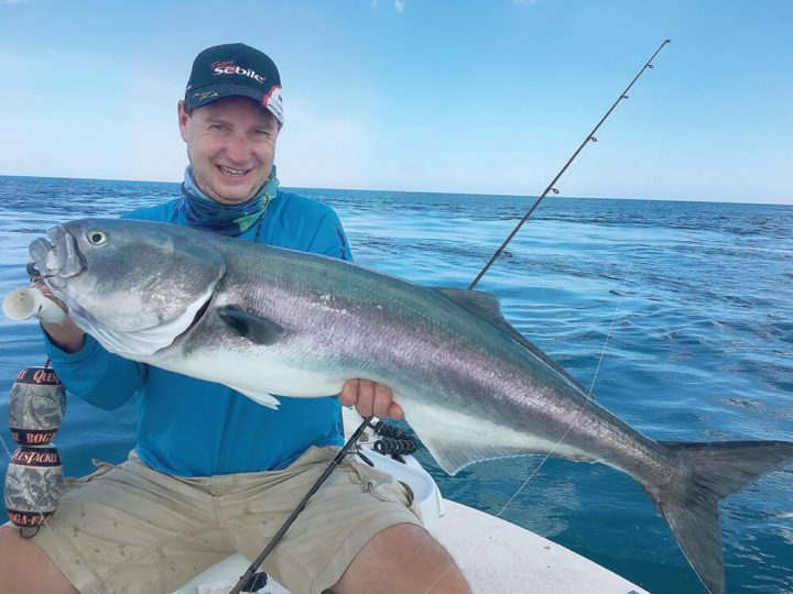
Many years ago I was a guide, making a living by taking anglers fishing all around the world—well, in 40 countries at least. I specialized in inshore and nearshore fishing, with some bluewater-specific trips.
Besides that, I fished, even more, destinations just for fun or when I was sent to write articles for magazines. In total, I’ve fished in 64 different countries. Why do I tell you all this?
Well, when I was focusing a lot on my lodges in Morocco, Guinea-Bissau and Ivory coast, where I spent years guiding, it gave me the chance to learn little by little the best spots and how to fish them. But the majority of places where I traveled to fish, I only had a few days to find the hot spots before receiving a group of anglers. When they arrived, I wanted them to have the best chances of doing well and having fun. I didn’t have much time, usually three days up to a week, to seek out key places.
In many cases, a local guide would give me hints; a good tip is always useful in that regard. But other than a direction and the approximate location of a day beacon, there was not much more helpful information out there. These areas had to be fine-tuned by reading and understanding them. These are two key steps for any successful fishing trip.
The primary tool for achieving these two steps is the combination of GPS and fishfinder. Most of the time I traveled with a portable unit, just in case there weren’t electronics on the boats I was supposed to be using, and also in the case that they weren’t working properly. I experienced that problem a number of times in remote locations and developing countries.
With this powerful technology, suddenly the bottom shape and depth were illuminated on the screen… and in my mind. I was picturing it as a three-dimensional image as best as I was able. The bottom structure and the currents were key to understanding water flow, which gives clues of where the food will pass through and where different fish species hold in the current or hidden from it.
At that time, I remember dreaming of glasses that would see into the depths, turning the liquid into an invisible substance like the air, to actually see the fish and the bottom. This is a dream I believe has existed since the first boatman went on the water, or even before.
Now it has pretty much become a reality thanks to the incredible electronics of today. They show us the sea floor exactly as it is, and record true bottom shape and depth on maps thanks to Navionics. We can even see the fish down there.
A new age of fishing is here thanks to this revolution. Now it’s possible to know when fishing a new spot or an old one, just what it looks like under the waves. It’s even possible to target a fish and drop or cast a lure right in front of it. This is fine-tuned fishing at its best.
