By Bill Carson:
In a recent article appearing in Coastal Angler/The Angler magazines, we explored tips on Side Imaging and how it helps identify which side of the boat bait and fish might be on. While this is self-evident, there are always those that are skeptical. Even anglers who have purchased the technology rarely employ it like they could or should.
Often an angler will enter a creek or bay and do a ride through using the GPS and 2D sonar. They are typically in search of bait, knowing full well that finding the bait will eventually lead to finding the fish. What they overlook is the realization they are limiting their “look” to what is almost directly under the boat.
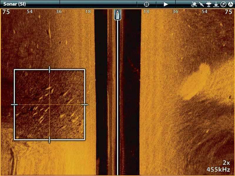
In screen snapshot A, we can actually see the fish and we know they are exactly 41 feet to the port side of the boat. If we know they are there and exactly where they are, we can then target them effectively. Using side imaging allows the angler to survey hundreds of feet of bottom in one sweep instead of just under the boat. Yes fish do show on Side Imaging.
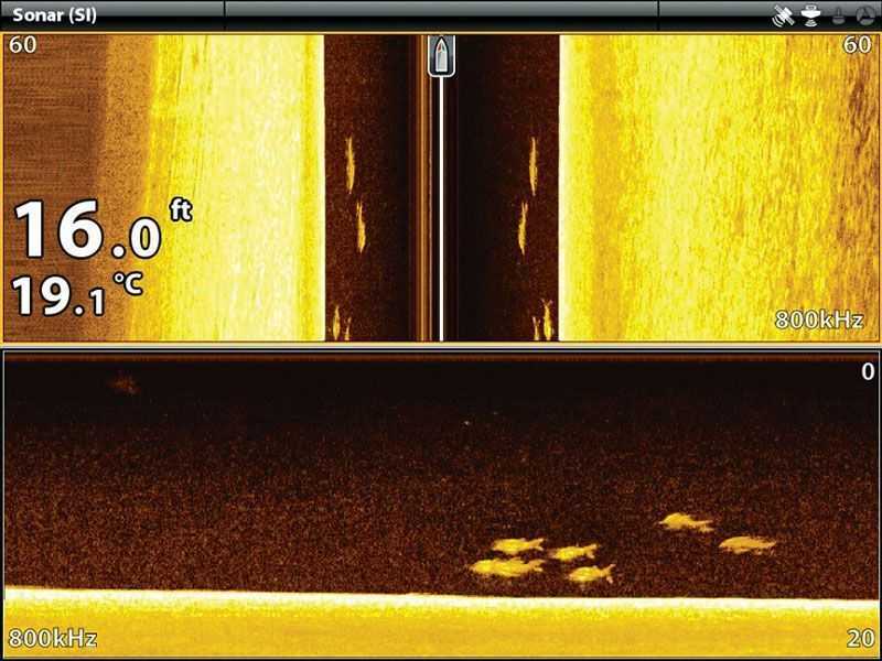
In screen snapshot B, we can see the incredible detail that SI/DI (Side Imaging/Down Imaging) as a combination provides. These were threadfin salmon in Australia that show undeniably great detail from this technology. Next time we will discuss Down Imaging in more detail.
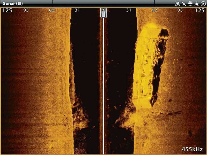
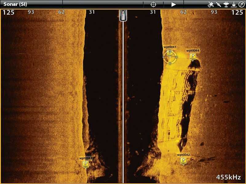
In an effort to explain a technical use of SI, let’s look at a real life case study. In screen snapshot C, we see a barge and now know exactly how it is positioned on the bottom. In screen snapshot D, we can see where SI has been used to mark all four corners of a barge on the bottom. Combine the ability of SI with GPS, and this yields the ability to target fish that are living and lurking in wrecks with unbelievable effectiveness.
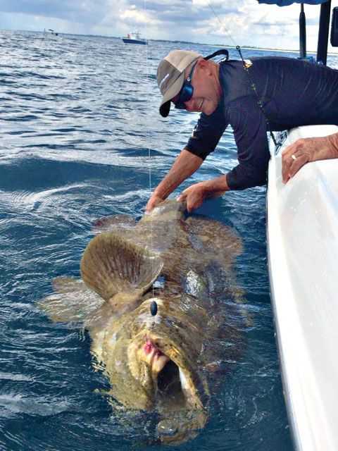
We positioned our boat using the iPilot LINK (this was our “active anchor”) and put down live bait where we successfully hooked several snook and grouper. This is one of the Goliath grouper caught by positioning alongside and fishing bait down current in the wreck. As we gear up for Cobia in the coming months, this is a perfect time to find wrecks and mark them for pin-point accuracy. This works with all areas and water types where the depth is less than 200 feet and Side Imaging is the absolute perfect tool to find and mark these honey holes.
Bill Carson is the Field Marketing Manager for Johnson Outdoors Marine Electronics Inc. in Alpharetta, Georgia.
