By Capt. Chris Thalmann Contributing Writer
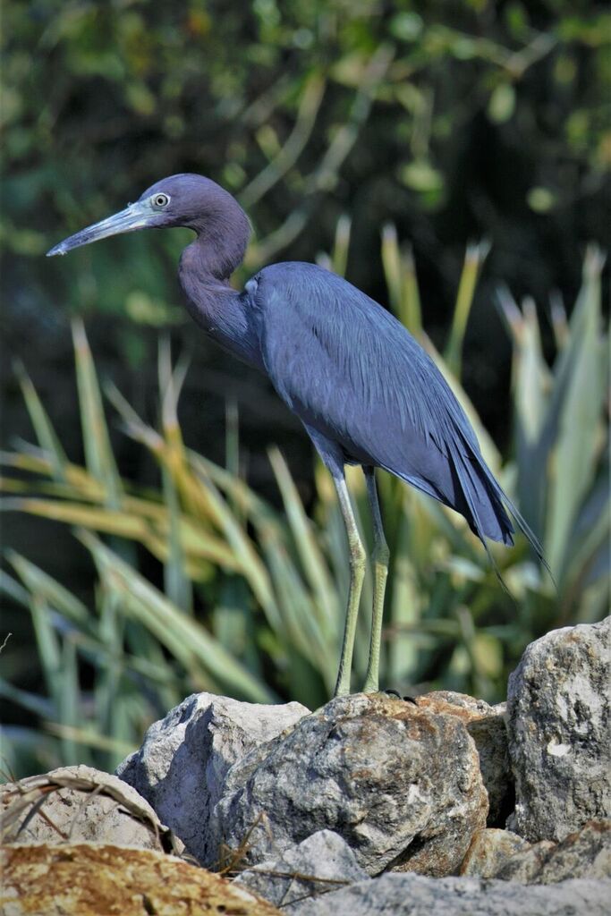
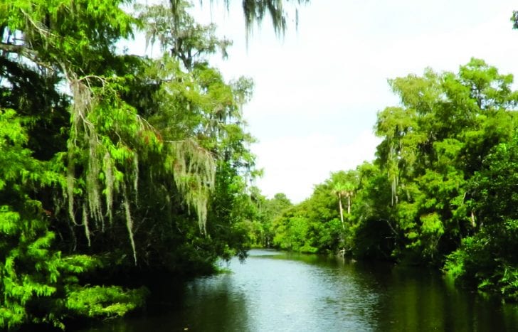
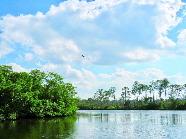
Last month I offered some tips for exploring the Loxahatchee River by boat from the area around Jupiter inlet. It’s an easy 3 hour trip and one of the nice things about exploring by boat is that you get to see firsthand how the river changes along the way. The lower river – also known as the central embayment – looks like many other areas in Palm Beach County. It is a pretty section of water, in places more than 1,000 feet wide and bordered to the east by the railroad and Alternate A1A bridges. Lined by residential homes, this is a brackish water estuary, flooded by crystal-clear blue water twice a day as the tide runs in from the ocean inlet to the east. This blue water extends only so far. If you explore on a rising tide, it’s easy to see the line between ocean blue and the brown-colored brackish water. This mix of saltwater and freshwater extends for miles up the northwest fork of the river, past Pennock Point and the homes along Island Way and well into JD State Park. Even before you reach the park, you will notice the river really starts to wind back and forth, almost folding in on itself. Enjoy, go slow, and watch for shallows, the river will begin to curve even more as you continue upstream. Still a couple hundred feet wide in places, the natural twists and turns of the river help to slow water flow as the tide comes in and out, allowing sediment to fall out of the water and settle to the bottom. This section of the river is still tidal – and brackish. You can tell by the densely growing mangroves that line both shores. Look carefully and you will begin to see the bright green leaves of cypress trees in the distance, behind and above the mangroves. The river narrows as you continue upstream, less than 50 feet wide now. The mangroves begin to thin, interspersed with pond apple, Virginia willow, and other freshwater plants and trees. There is very little traffic on this section of the river, mostly canoes, kayaks, and skiffs. Almost no boats longer than 15-20 feet. There is a sense that wilderness is about to envelope you. Around a few more bends and the river narrows still further. Cypress trees creep close to the shoreline and extend their branches above the water’s edge. A twist to the left and the last of the mangroves disappear. A turn to the right and a stand of giant leather fern appears, lending a prehistoric look to the river’s edge. The water looks black now, yet sunlight pierces through to the bottom several feet below. Cypress trees covered in Spanish moss reach across the narrow river and for the first time join to form a full canopy above. The quiet is almost eerie, no wind at all. And then – bump – you encounter your first hidden stump. Congrats – you have reached the upper Loxahatchee! Captain Chris Thalmann Owner | Aqua Adventure Tours, Inc. aquaadventuretours.com
Captain Chris Thalmann
Owner | Aqua Adventure Tours, Inc. • aquaadventuretours.com