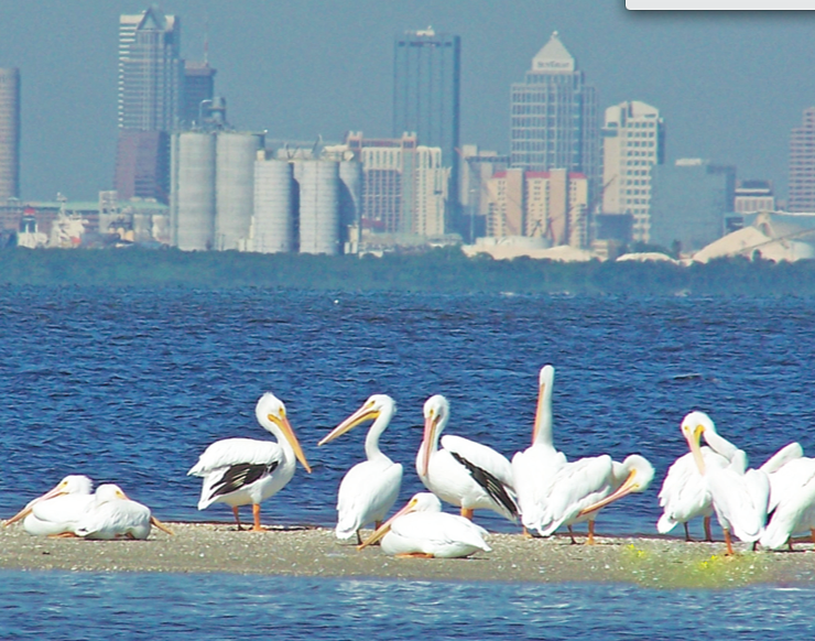
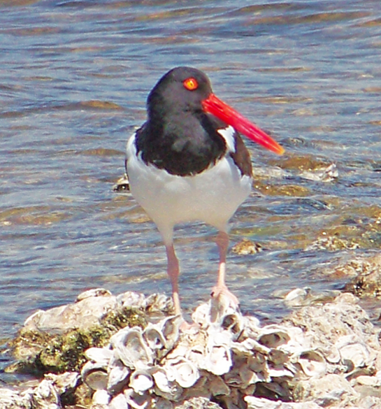
[dropcap]E[/dropcap]stuaries are some of the most productive and biologically diverse environments around Florida and the Gulf of Mexico. They are the areas where freshwater drained from the land meets and mixes with seawater to form a brackish water body. Estuaries and bays serve as important nurseries for fish.
Many species breed, spawn and live out all or part of their lives in our estuaries. This productivity supports major fisheries,but estuaries are also popular locations for recreational boating and swimming. Historically, they have been a magnet for people, and the largest estuaries are now hotspots of population growth.This growth contributes to pressures on the very resources that we enjoy and spend on, and we have to constantly manage our own sewage, fishing efforts, and land development to help counter some of the negative effects that we expect as our own planet changes with a changing climate.
Climate change is a force that can have dramatic impacts that, by definition, are long term. To help understand this issue, a team of researchers from the University of South Florida’s College of Marine Science (CMS) has teamed up with researchers in Puerto Rico and in the major estuaries in the five states of the Gulf of Mexico to determine how climate and oceanographic parameters like rainfall, discharge, air and water temperatures, predominant winds, sea level, etc. have changed over the past 100-plus years, and particularly to understand if there is synergy between these parameters in affecting water quality in our estuaries.
Cities and counties make great investments in monitoring water quality to protect our health and economic well being, but it is difficult to measure water quality over the entire area of an estuary quickly. It can take days to weeks for field teams to collect data across an estuary, and additional time to understand the measurements in terms of water quality changes. From the time a survey starts to when it ends, the water has moved around and the characteristics of an estuary have changed— they change from day to day. Our team is now looking to use modern satellite technology to speed up this survey process. Satellites can take a snapshot of an individual estuary in one or two minutes every day, and computer programs can quickly calculate water quality from the images.
The team has begun work with funding from the Environmental Protection Agency (EPA) STAR program to develop an application that will be made available to the public on portable devices such as tablets and smart phones to display the latest satellite images and show how recent or current weather events are affecting water quality in their bay.
Hopefully this handheld report of current water conditions will help inform the public about the need to better manage and protect our water resources so that we can continue to enjoy them.
Matt McCarthy is a Ph.D. student in the College of Marine Science at the University of South Florida. He can be reached at mjm8@mail.usf.edu www.gulfspecimen.org
[easy-social-share]