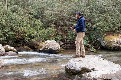
A fishing destination in its own right, Damascus, Virginia sits at the confluence of Whitetop Laurel, Tennessee Laurel, and Beaverdam Creeks, which form Laurel Creek for a short distance and then join the South Fork of the Holston River just outside of town limits. Fishing options around Damascus cover a wide range, from roadside to remote.
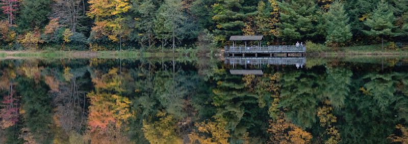
Wheelchair accessible fishing can be found at several locations. In downtown Damascus, check out Laurel Creek Park, the home of the Damascus Farmers Market. Find several wheelchair accessible fishing platforms on the Creek Junction Accessible Fishing Trail along Whitetop Laurel and adjacent to the Virginia Creeper Trail at its Creek Junction trailhead. Beartree Lake is wheelchair accessible with fishing platforms and a paved trail along half of the 14-acre lake.
Depending on where you go, fishing near Damascus may require a freshwater fishing license, national forest permit, and trout license for Virginia and/or Tennessee. Fishing licenses may be purchased online or in person.

Beartree Recreation Area
This 14-acre cold-water lake is a designated stocked trout water located in the Mount Rogers National Recreation Area. It offers a sandy swimming beach, wheelchair accessible fishing docks, and plenty of trailside fishing. The US Forest Service and Virginia DWR sometimes offer Kids’ Fishing Days at Beartree Lake.
Note: Beartree Lake is drained to 1/3 of its standard capacity for a restoration project, Aug to Nov 2024.
Beaverdam Creek
This underrated trout stream flows through Cherokee National Forest into Damascus from nearby Shady Valley, TN. Access is most popular from Backbone Rock Recreation Area, roadside pull-offs, or the short, one mile Beaverdam Creek Trail in Damascus.
Laurel Creek
Whitetop Laurel and Tennessee Laurel converge just upstream of downtown Damascus to form Laurel Creek, which flows only a few miles before joining the South Fork of the Holston River. Fish Laurel Creek right from downtown at Laurel Creek Park, the Damascus Dog Park, or Creekside Park on the Virginia Creeper Trail.
South Fork Holston River
The South Fork Holston River originates near Sugar Grove, formed by the combination of several cold-water streams. It has DWR special regulation areas as well as stocked trout sections. Roadside access near Damascus is best at Alvarado near where the South Fork joins the Middle Fork and forms the headwaters of South Holston Lake. The Virginia Creeper Trail between Damascus and Alvarado offers ample trailside access to the South Fork. Find the famed tailwaters of the South Fork Holston a bit further downstream just past the South Holston Dam in Tennessee.
Voted #4 in USA Today’s 10 Best Rivers for Fly Fishing in Summer 2024
Tennessee Laurel
This roadside stream parallels Route 91 through Cherokee National Forest from Laurel Bloomery, TN to Damascus. Tennessee Laurel is a freestone creek with a mix of riffles and pocket water. A bit more wider and more open than its sister stream, Whitetop Laurel, Tennessee Laurel makes for easier fly casting. This stream has a mix of wild and stocked trout and is best accessed by Laurel Creek Trail or at roadside pull-offs.

Whitetop Laurel
Just upstream of Damascus lies one of Virginia’s greatest trout streams, Whitetop Laurel Creek. Approximately seven miles of Whitetop Laurel are stocked trout waters located on both private and public lands, with an additional five miles of special regulation waters. Within the special regulation sections, anglers can find brook, brown, and rainbow trout.
