America Go Fishing
Fishing & Dive Sites Memory Cards
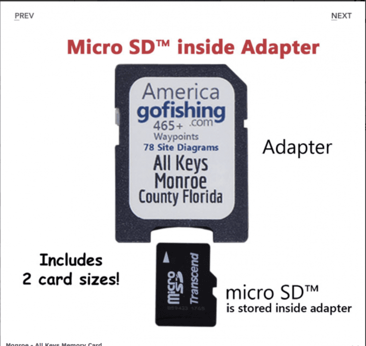
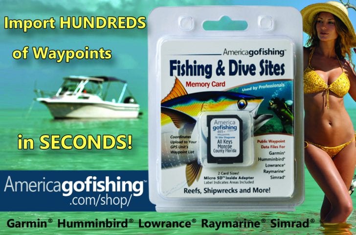
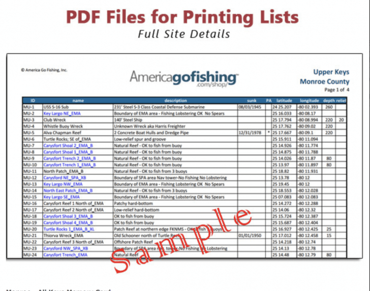
Over 5,000 Waypoints in 35 coastal counties, it’s all about the GPS numbers. Dedicated to helping anglers and divers, America Go Fishing makes fishing and dive site GPS coordinate memory cards, providing public reef site data that uploads to GPS unit Waypoint lists. Hundreds of waypoints are imported in seconds! These data files are unique because we have brought public data from dozens of resources into one place. The files are formatted for easy import into the most popular GPS brands. Also included are companion PDF & KML files that are great planning tools. The data also includes rules and regulations for many reef sites, a unique feature not found elsewhere.
Fishing – Boating – Diving
(Included sites & features vary by county)
Artificial Reefs
- Ledges & Holes
- Mooring Buoy Rules
- Natural Reefs
- Islands & Inlets
- Lobstering Rules
- Shipwrecks
- Marine Boundaries
- Spearfishing Rules
Why key in a few locations on your GPS unit when you could download hundred in seconds?
Putting these reef sites in the users’ hands helps to spread people out, reducing fishing and diving pressure in order to conserve and protect these areas for future generations. When you are on a site that is overcrowded or unproductive, you can quickly see nearby reef sites to visit on your GPS’s map. Waypoints appear as ID numbers on your map keeping it uncluttered. Open each waypoint to see the reef name and the materials at the site. For highly regulated areas, rules are included. This information wasn’t easy to gather, but is important and extremely useful.

The memory cards a currently available for Florida. Other coastal states coming soon.
Order at our online store: Americagofishing.com/shop


